 EARLY WARNING PLATFORM
SOURCESANALYSISRTU / PDDTRACEABILITY
- 01MONITORING
- 02DECISION
- 03WARNING
INTEGRATED SOLUTIONS
We design early-warning and emergency-management solutions adapted to the risk, territory and operation of each sector.
EARTHQUAKE EARLY WARNING
P waves arrive before S waves. The system uses this difference and fast communications to send a warning before stronger shaking, when event conditions allow.
Seismic waves propagate from the hypocenter.
Sensors register the event's initial signal.
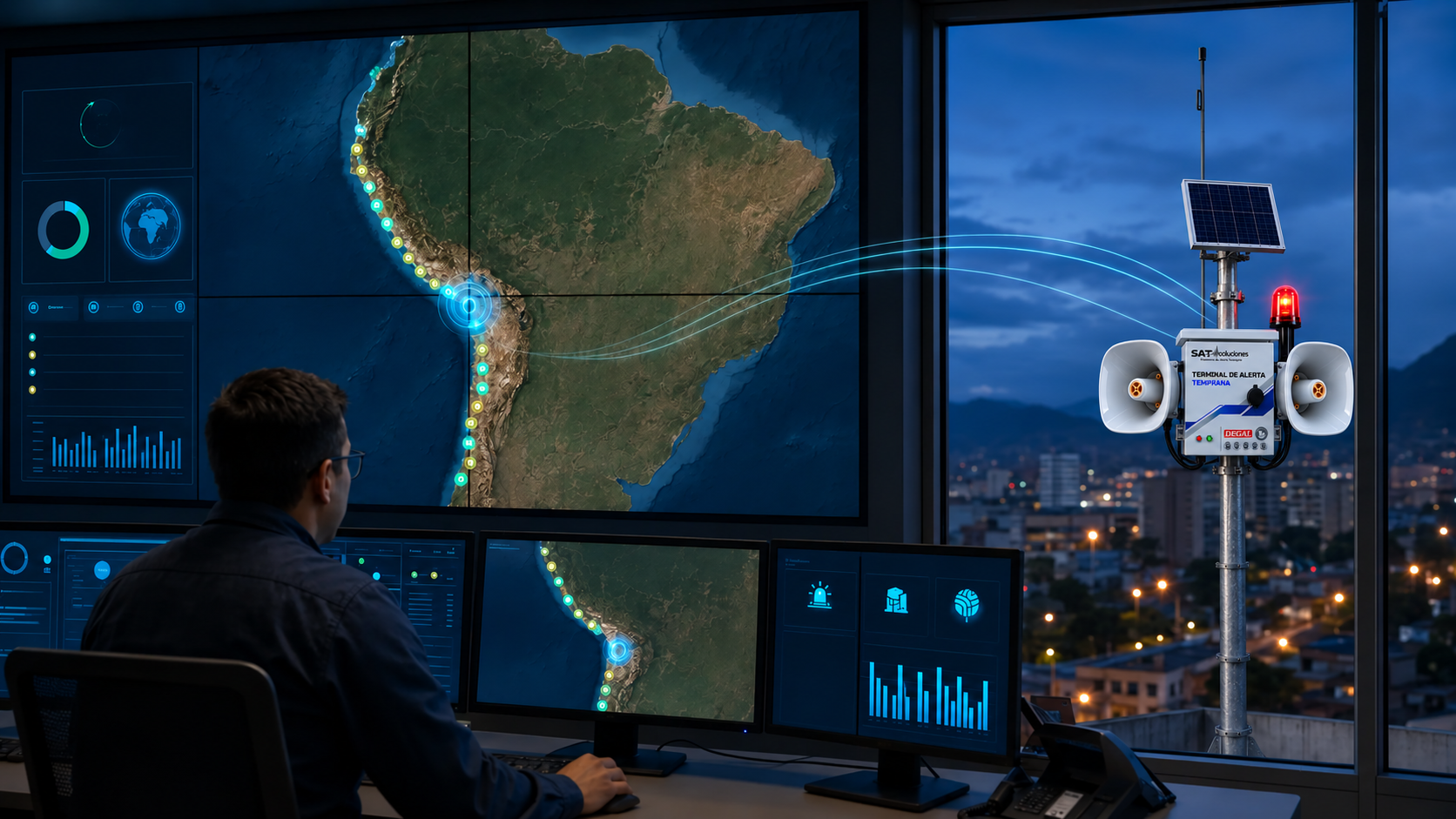
The control center estimates location, magnitude and expected shaking.
Speakers, displays and lights help activate protocols in schools, hospitals, metro systems and other spaces.
Early warning neither prevents nor predicts earthquakes. Available warning time depends on the event source and each receiver's location; it may be very short or unavailable near the epicenter.
INDECI modeling scenario (2017). These figures describe a risk scenario; they do not predict the date of an earthquake.
RISK AND TERRITORY
Design begins with the hazard, exposed population, available infrastructure and actual connectivity in each area. This avoids generic deployments and creates a technical response that can operate, grow and be verified.
EARLY WARNING PLATFORMEarthquakes, tsunamis, rainfall, flooding, debris flows, landslides and fires require differentiated sources, rules and responses.
Municipalities, population centers, mining operations, corridors and essential services require location-specific deployments.
Variable connectivity requires combining available channels, supervising every link and preserving operational traceability.
The same operation must support warning, targeting, automation and secure confirmation of every action.
TECHNOLOGY ARCHITECTURE
The solution connects information, rules, communications and field equipment in a supervised flow. Every stage preserves status, confirmation and traceability.
SOLUTIONS BY SECTOR
Territorial coverage, public warning and progressive growth over existing infrastructure.
DEPLOYMENT ENVIRONMENTS
The same architecture adapts to territorial scale, organizational protocols and the criticality of each facility.
Distributed coverage using existing infrastructure, zone-based activation and progressive expansion to bring warnings closer to people.
Clear warnings, evacuation support and authorized automatic responses to protect users and sustain essential services.
Environment-adapted communications, continuous diagnostics, targeted activation and operational continuity.
MUNICIPAL EXPANSION MODEL
The solution uses existing infrastructure to bring warnings closer to the public, reduce civil works and deploy a supervised network that can grow by sector, neighborhood or investment phase.
Poles, public buildings, schools, healthcare facilities, squares and urban corridors.
Warning points close to people, with targeted activation for each scenario.
4G, Wi‑Fi, RDS and Ethernet; VHF available as an optional channel.
Centralized monitoring, remote diagnostics and 24/7 event records.
City hall, public safety, main square and high-traffic routes.
Schools, healthcare, markets and evacuation corridors.
Neighborhoods and progressive connection to other municipal assets.
PLATFORM AND EQUIPMENT
Explore the software, RTUs and warning channels that make up our portfolio.
LET'S TALK
Our commercial team is ready to learn about your project.